Spread the news
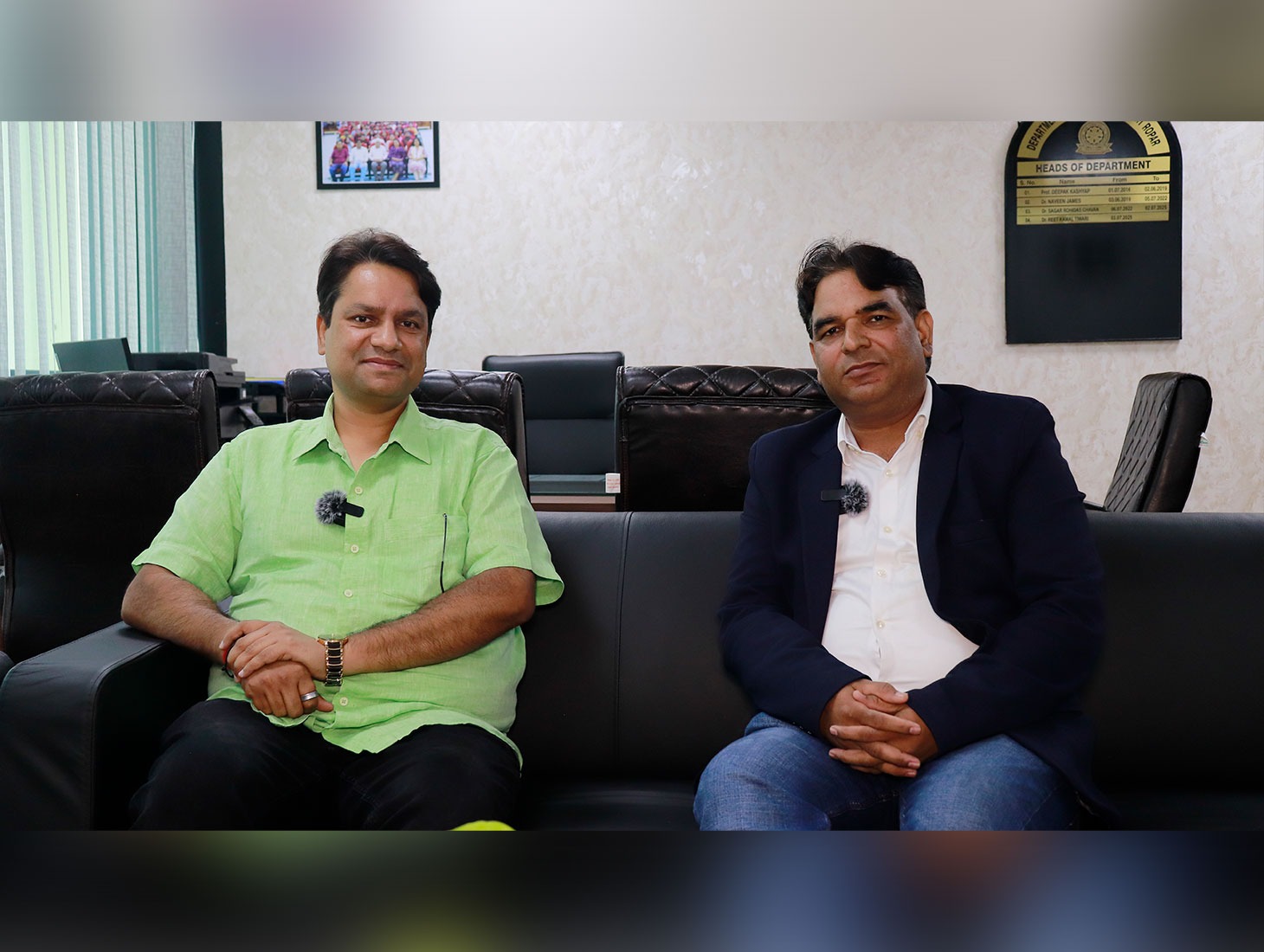
For decades, engineers have viewed siltation as one of the biggest long term threats to the Bhakra Dam. The prevailing belief was that sediment carried by the Sutlej River was steadily reducing the reservoir’s storage capacity, raising concerns about the dam’s future ability to supply water and generate electricity. However, a new scientific study by IIT Ropar paints a more reassuring picture. In an Exclusive Interview with The North News Editor-in-Chief, Dr. Kiran Deep, Dr. Reet Kamal Tiwari, Associate Professor and Head of the Department of Civil Engineering at IIT Ropar said his team’s findings indicate that the reservoir has lost around 19 percent of its storage capacity, considerably lower than the 26–27 percent reduction estimated earlier. The study also concludes that Ranjit Sagar Dam has accumulated less sediment than previously believed, suggesting that it, too, could remain operational longer than earlier assessments projected.
Using advanced technologies, including drone-based aerial mapping, remote-operated bathymetric survey boats and high-resolution digital terrain modeling, a research team led by Dr. Tiwari found that the Bhakra Reservoir has lost considerably less storage capacity than many earlier assessments had suggested.
Every river carries more than water. It also transports sand, soil, rocks and fine sediment that eventually settle at the bottom of reservoirs. Over time, this process—known as siltation—reduces the amount of water a dam can store, directly affecting irrigation, hydropower generation and drinking water supplies. Over the years, several hydropower dams have been built upstream of the Bhakra Dam. These projects trap a significant portion of the sediment carried by the Sutlej River, resulting in much less silt reaching the Bhakra Reservoir than in the past.
Less Silt Means Longer Reservoir Life
Situated in Bilaspur district of Himachal Pradesh, the Bhakra Dam is one of India’s largest dams and has been instrumental in driving the economic and agricultural development of Punjab, Haryana and Rajasthan. Bhakra Dam has been a lifeline for agriculture, industry and urban growth. In addition to generating electricity, the dam supplies irrigation and drinking water to Punjab, Haryana, Chandigarh and parts of Rajasthan, supporting millions of people and contributing significantly to the region’s economic development.
According to Dr. Tiwari, the IIT Ropar team adopted a high-resolution approach using remotely operated survey boats, drones and modern mapping technologies. As a result, the researchers collected measurements every 30 metres, compared with the much wider spacing used in earlier surveys. “The higher the resolution, the clearer the picture becomes,” Dr. Tiwari explained. By combining underwater bathymetric data with aerial drone surveys of exposed reservoir areas, the researchers created one of the most detailed digital models of the Bhakra reservoir ever produced. The data showed that sediment accumulation was substantially lower, meaning more water storage capacity remains available than previously thought.
Why Earlier Surveys May Have Missed the Full Picture
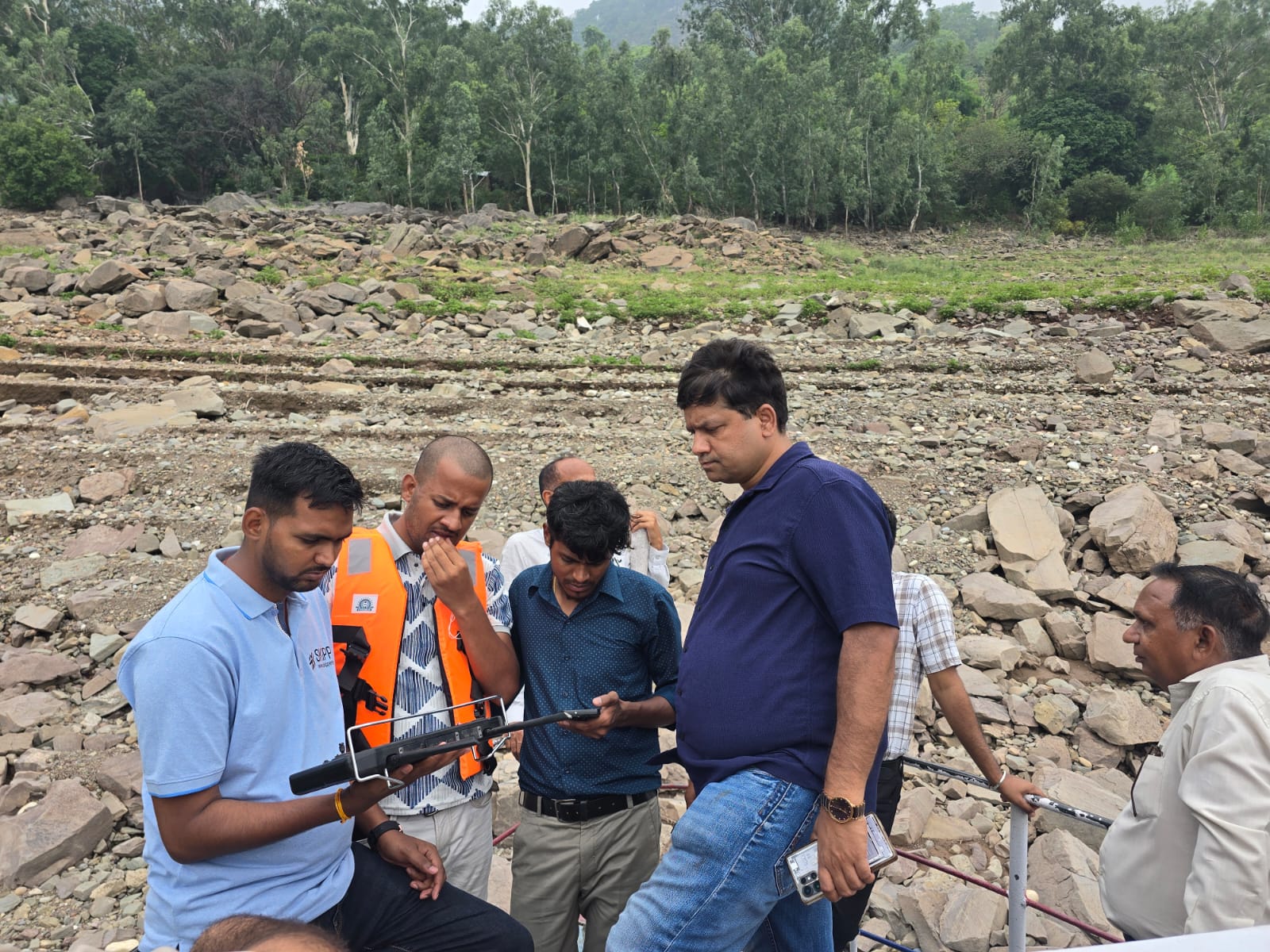
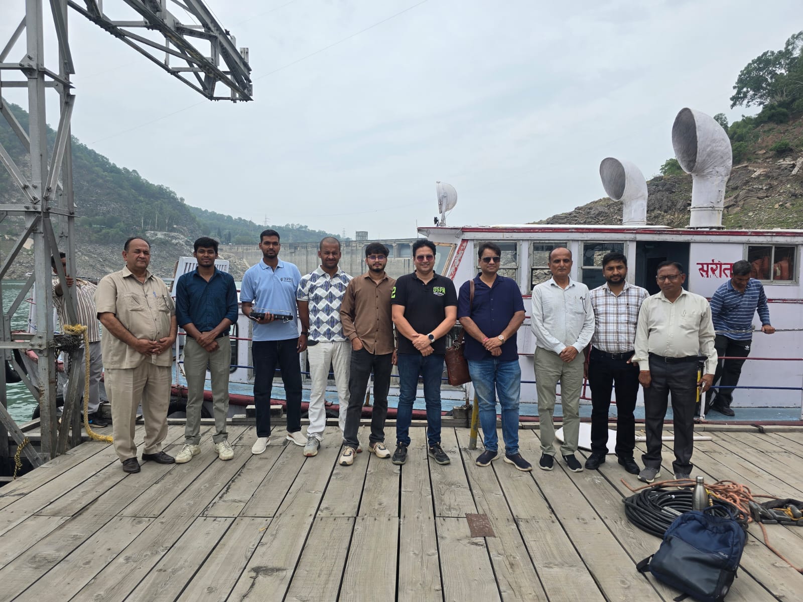
Dr. Tiwari said conventional surveys have limitations because large survey boats cannot safely enter shallow sections of the reservoir where water levels fluctuate throughout the year.These inaccessible areas are important because they contribute to the overall storage capacity.Using smaller remote operated vessels, the IIT Ropar team surveyed sections that had rarely been measured before. Drone mapping was then used to capture exposed portions of the reservoir that remain above water during lower water levels.
When these datasets were combined and validated against original design records, the researchers found that the earlier estimates did not fully reflect the actual topography of the reservoir.
The revised assessment suggests that the overall loss in storage capacity is significantly lower than previously believed.Live storage refers to the water that can be released for irrigation, hydropower generation and other human uses.Dead storage lies below the level from which water can be withdrawn and primarily serves as the space where sediments naturally accumulate, he added.
Dr. Tiwari said much of the deposited sediment remains within the dead storage zone, meaning the reservoir’s usable water capacity has been affected less severely than earlier estimates suggested.
That finding is particularly significant because it reveals that the Bhakra reservoir continues to retain larger volume of usable water than previously believed, strengthening its long term role in supplying water and electricity across northern India.
Why Silt Is Not Yet a Threat to Bhakra Dam
One of the study’s most reassuring findings is where the sediment is settling inside the reservoir.
According to Dr. Reet Kamal Tiwari, the bulk of the silt is not piling up close to the dam wall—a situation that could have affected water withdrawal and reservoir operations. Instead, the sediment is accumulating much farther upstream, where the river enters the reservoir.
“The main sediment hump is located nearly 8.2 kilometres upstream of the dam,” he explained. “This means the deposited material is largely confined to the dead storage zone and does not pose an immediate operational threat to the dam.” For reservoir managers, this is encouraging news. Because the silt is settling away from the intake structures and remaining largely within dead storage, the volume of water available for irrigation and hydropower generation continues to remain higher than earlier estimates suggested.
“The farther the sediment remains from the dam, the better it is for live storage,” Dr. Tiwari said.
A Longer Life for India’s Water Lifeline
The lower than expected sediment deposition has another important implication—it extends the useful life of the reservoir. Every large dam is designed with an estimated operational life based partly on how quickly sediment is expected to fill the reservoir. If less sediment enters the reservoir than originally predicted that life naturally increases. “Our findings indicate that Bhakra Dam Reservoir will remain functional for a longer period than earlier assessments. The same trend has also emerged from the team’s assessment of Ranjit Sagar Dam, where high-resolution surveys revealed lower silt accumulation than previous estimates. Both reservoirs appear to be aging more slowly than earlier projections had indicated, suggested Dr. Tiwari,.
Why Is Less Silt Reaching Bhakra?
Dr. Tiwari believes several factors may be contributing.
One possible reason is the construction of upstream dams and reservoirs, which trap large volumes of sediment before it reaches Bhakra.
He also noted that the annual sediment inflow now appears to be below the figures considered during the original design of the project.
“Current observations suggest that the reservoir is receiving less sediment than anticipated when Bhakra Dam was designed,” he said.
The finding challenges assumptions that have guided reservoir management for decades and opens the door for further scientific investigation.
Modern Technology Changed the Survey
Unlike previous assessments, the IIT Ropar study relied on multiple technologies working together.
Researchers deployed remotely operated survey boats equipped with echo sounders, while drones mapped exposed sections of the reservoir that conventional boats could not access.
The fieldwork itself was demanding.
Dr. Tiwari recalled that the team spent more than 50 days working on the reservoir, often facing harsh weather conditions, fluctuating water levels and difficult terrain.
Operating the equipment required multiple researchers on the ground every day.
“It was not an easy survey,” he said. “Sometimes there was intense heat, sometimes rain. But completing the work at such a high resolution was essential.”
The experience has also encouraged IIT Ropar to develop indigenous survey technology.
Since suitable remote-operated bathymetric boats are largely imported, the institute is now building its own autonomous survey boats.
Dr. Tiwari believes that future reservoir assessments could be completed in nearly half the time by deploying multiple indigenous survey boats simultaneously.
How Often Should Such Surveys Be Conducted?
One of the recommendations submitted to the Bhakra Beas Management Board (BBMB) is to replace annual conventional surveys with high-resolution scientific surveys every three years.
Dr. Tiwari said that using the same methodology repeatedly would allow engineers to compare data accurately and monitor exactly how much sediment accumulates across every 30-metre section of the reservoir.
Rather than relying only on broad estimates, authorities would have precise measurements of changing sediment patterns over time.
Such data, he said, would significantly improve reservoir management and long-term planning.
Can States Receive More Water?
One obvious question arising from the study is whether Punjab, Haryana and Rajasthan—the major beneficiaries of Bhakra waters—could eventually receive more water if the reservoir has retained more storage than previously estimated.
Dr. Tiwari was careful not to draw policy conclusions.
“Our study shows that the available storage is higher than earlier estimates,” he said. “But decisions regarding water allocation rest entirely with the government and concerned authorities.”
While the research identifies greater water availability within the reservoir, how that information influences water-sharing policies will be a matter for policymakers rather than scientists.
A Case for Rethinking India’s Water Storage Capacity
For Dr. Reet Kamal Tiwari, the Bhakra study is about much more than one reservoir.
He believes it has the potential to change how India estimates its water resources and plans for the future.
“If one of India’s largest reservoirs has considerably more storage than previously estimated, it raises an important question, could the same be true for many other reservoirs across the country?” he asked.
The amount of water available in India’s reservoirs is still estimated using decades-old methods to assess silt accumulation. A fresh assessment using modern scientific techniques could show that the country’s actual water storage capacity is much higher than current estimates suggest.
According to Dr. Tiwari, that information would influence almost every aspect of water management from irrigation planning and drinking water supply to hydropower generation and reservoir operations.
“It is not only about one dam,” he said. “It is about understanding India’s actual water resources,” he added
Drawing from the Bhakra experience, Dr. Tiwari has recommended that similar high-resolution surveys be carried out across India’s major reservoirs.
He believes modern technologies—including drones, remotely operated boats and digital terrain modelling—can provide far more accurate estimates than conventional survey methods.
Such data could help governments prepare better irrigation plans, improve drought management, strengthen flood control strategies and optimise reservoir operations.
He also suggested that the findings could form the basis of a national policy paper for organisations responsible for managing large dams.
“If this methodology produces more accurate results here, there is every reason to apply it elsewhere,” he said.
According to him, a nationwide assessment could provide policymakers with a far clearer picture of India’s true water storage capacity.
Can the Deposited Silt Become a Resource?
Instead of viewing sediment solely as a problem, Dr. Tiwari believes some of it could eventually become an economic resource.
He said IIT Ropar is working with experts to study the commercial potential of the material deposited inside the Bhakra reservoir.
The sediment contains sand, gravel and other materials that may be suitable for infrastructure and construction after scientific evaluation.
The research team is now undertaking a separate study to determine whether these deposits can be safely and economically utilised.
If found viable, such an approach could reduce maintenance challenges while creating value from material that currently remains unused.
Beyond Dams: IIT Ropar’s Next Challenge Is Polluted Rivers
While reservoir management remains one focus of his research, Dr. Tiwari is equally concerned about another growing challenge—urban water pollution.
He revealed that IIT Ropar is preparing to launch an innovative project in collaboration with the Delhi Jal Board to restore heavily polluted drains using Advanced Oxidation Technology.
Unlike conventional sewage treatment plants, which are expensive to build and operate, the proposed system aims to clean polluted water directly within the drain itself.
The technology will use oxygen, ozone and air to break down pollutants before the water reaches rivers.
The first demonstration project is planned at Delhi’s Defence Colony drain after the monsoon season.
“If successful, this technology could significantly reduce foul odours within weeks and improve water quality to prescribed environmental standards within months,” Dr. Tiwari said.
He believes the approach could eventually be replicated in cities across India and other developing countries facing similar pollution challenges.
Improving Water Quality Means Increasing Water Availability
Dr. Tiwari sees reservoir conservation and river restoration as two sides of the same challenge.
On one hand, accurate reservoir surveys can reveal that more usable water already exists than previously believed.
On the other, cleaning polluted rivers can create additional water resources by making contaminated water fit for reuse. Besides this, Dr Tiwari said increasing water availability is not only about building new dams, it is also about protecting the water we already have. “Combining scientific reservoir assessments with innovative water-treatment technologies could strengthen India’s long-term water security without relying solely on new infrastructure,” he said.
Providing details, Dr. Tiwari said the comparison of bathymetric surveys conducted in 2018, 2022, 2024 and the latest survey in 2025 revealed noticeable differences in estimates of storage capacity and sediment deposition.
According to the study, the average annual siltation rate works out to 28.11 million cubic metres (MCM) between 1959 and 2025, while the average rises to 30.87 MCM per year when calculated for the period from 1965 to 2025. “The assessment shows that the dead storage, live storage and gross storage capacities have declined by 38.01%, 12.90% and 19.08%, respectively, compared with the reservoir’s original design capacity,” Dr Tiwari said.
He added that cumulative sediment deposition has been estimated at 924.37 MCM in the dead storage zone, 958.90 MCM in the live storage zone and 1,883.27 MCM across the gross storage capacity, representing the total storage lost due to sediment accumulation. The study also identified a sediment hump located 8.2 kilometres upstream of the dam axis, providing an important reference point for future monitoring. Dr Tiwari said the 2025 bathymetric survey was carried out using a uniform 30-metre survey line spacing, producing a denser and more consistent dataset than any of the previous investigations and improving the accuracy of storage capacity estimates.
Based on the findings, the IIT Ropar team has also proposed a series of recommendations for the Bhakra Beas Management Board (BBMB) to improve future reservoir assessments.
Dr Tiwari said future bathymetric surveys should follow a standardised methodology covering survey equipment, benchmark reference systems, data-processing workflows and survey specifications. Adopting uniform standards, he said, would make it possible to compare sedimentation trends reliably over time and reduce uncertainties between successive surveys.
He also recommended that the 30-metre survey line spacing be adopted as the standard for all future surveys of the Bhakra Reservoir. According to the study, this resolution produces a high-quality Digital Elevation Model (DEM), reduces interpolation errors and improves the accuracy of both storage capacity calculations and sediment volume estimation.
The study further recommends that comprehensive bathymetric surveys be carried out every three to five years using the same methodology. Regular monitoring, Dr Tiwari said, would help build a consistent long-term sedimentation database, enabling better reservoir operations, more accurate assessments of storage capacity and informed decisions on long-term sediment management.









 Dr Kiran Deep