


Shimla May 8
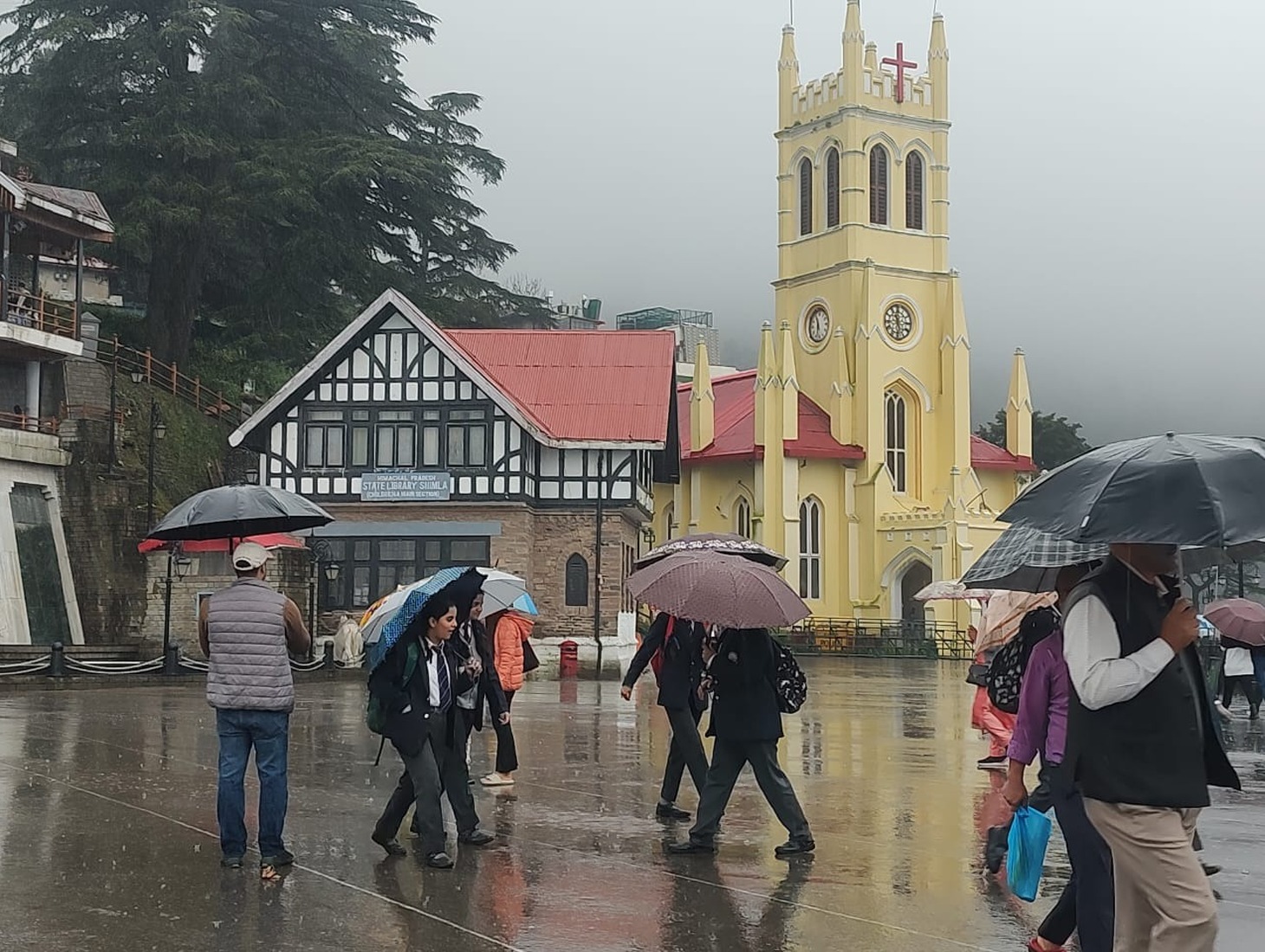
Several parts of Himachal Pradesh witnessed light rain, thunderstorms, and lightning on Thursday as changing weather conditions affected different regions of the state, according to the Meteorological Center in Shimla. The weather department has forecast another wet spell from May 11, as a fresh western disturbance approaches the western Himalayan region.
Areas including Shimla, Kangra, Bhuntar, Jubberhatti, Sundernagar, and Jot experienced thunderstorms and lightning during the day. Among the districts that recorded rainfall, Sarahan in Sirmaur district received the highest rainfall in the last 24 hours at 20 mm. Amb recorded 13.4 mm rainfall, Rohru 12 mm, and Pandoh 11 mm.
Kasol registered 9 mm rainfall, followed by Mandi with 6.4 mm, Sujanpur Tira with 6 mm, Jot with 5.6 mm, and Ghamroor with 4.2 mm.
The Meteorological Center has predicted light rain and snowfall in the middle and higher reaches of the state on Friday. Officials said a fresh western disturbance is likely to influence weather conditions in the western Himalayan region from Sunday onward, leading to another spell of wet weather from May 11.
A yellow alert has also been issued for thunderstorms accompanied by lightning and gusty winds of 40 to 50 kilometers per hour at isolated places across the state from May 11 to May 13.
On the temperature front, Keylong remained the coldest place in the state with a minimum temperature of 3.6 degrees Celsius, while Una recorded the highest daytime temperature at 33.6 degrees Celsius.
The weather office said minimum temperatures are expected to remain largely unchanged over the next three to four days. However, maximum temperatures are likely to increase gradually by two to five degrees Celsius across many parts of the state during the same period.